

Dry Run Creek / Rockhopper Trails
Open daily, dawn to dusk
(609) 924-4646 Website Google Maps Trail Map GeoPDF
Gravitas: ![]() Challenge:
Challenge: ![]() Proximity:
Proximity: ![]()

Dry Run Hop
Just north of Mercer-Hunterdon County line is the Dry Run Creek trailhead, a compact little parking lot on Woodens Lane, a lovely rural enclave in West Amwell, just SE of Lambertville, and 20 minutes or so north of downtown Trenton by car. Maintained by the D&R Greenway Land Trust, it’s a delightful, 1.2 mile trail that descends into Dry Run Creek* and then climbs about 230 feet to another parking lot off County Rt. 518.
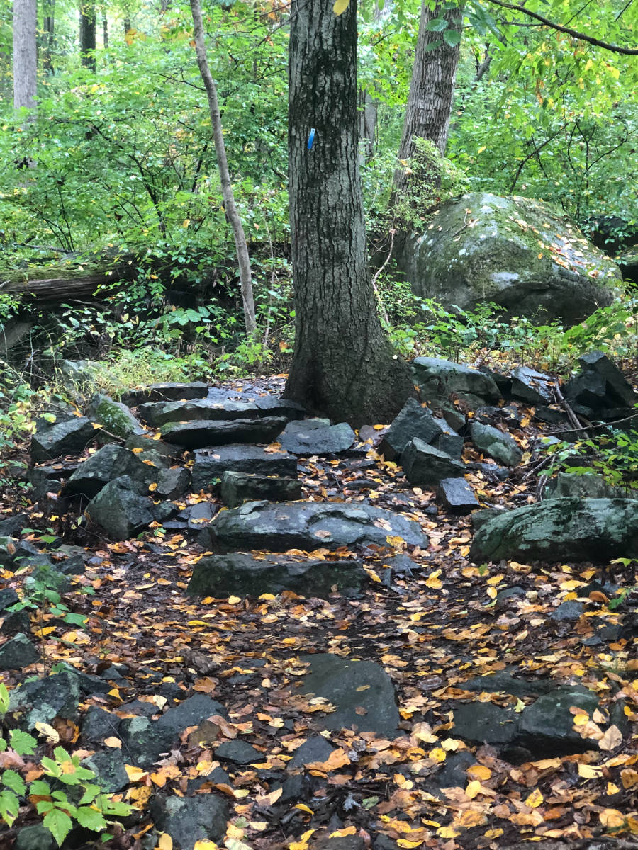
There, if you look directly across the road, you’ll see a couple of blue blazes on a tree. Cross the road, and follow the fence-line: you’ll find yourself continuing on the Rockhopper Trail, this one sporting square blue blazes, which traverses a combination of open space recently acquired by the Town of Amwell and state forest (which surrounds Lamberton’s reservoir).
One way, from the trail head on Woodens Lane to the end of the Rockhopper trail on Rock Rd. in Lambertville, is 3.2 miles, or 6.4 miles round trip. Returning, you can extend the walk by taking in the Red Trail, a nearly complete loop of 1.7 miles that returns you to the main Blue Trail about 0.2 miles south of where you started from (adding a net 1.5 miles). Then, too, there’s “Yellow” trail extension of 2.2 miles. So really ambitious hikers can walk over 10 miles in a single excursion.
There’s nothing particularly difficult about any of this walk. The Dry Run Creek segment is a bit hillier, but is still a very moderate grade. The Rockhopper isn’t completely flat, but undulates more than climbs. It actually wraps part-way around the Swan Creek reservoir, which provides Lambertville with its public water supply, but at least when the leaves are out, you can’t see it from the trail. Bushwhacking into the reservoir area might be fun (you traverse plenty of old woods roads that seem likely to lead you there), though I haven’t tried them and suspect you’ll run into a fence or no trespassing signs at some point. The Yellow Trail takes you close to the Reservoir on the other side. You can just see it through the leaves; the view might be pretty good when leaves are down.
The “Red” and “Yellow” trails need to be interpreted with caution. Yellow is indeed the predominant blaze color on the Yellow Trail. But in a 2021 walk we found: no blazes at all for the first several hundred yards from its junction with the Blue Trail; then fairly consistent yellow paint blazes, switching to small, not very visible, round plastic blazes beginning at a critical point. I struggled for a several minutes looking for the next paint blaze until I finally noticed the little yellow disc. Further in, the round markers disappeared, replaced by red paint, then white paint, then yellow plastic square markers, then white paint again. Whew! That said, in other respects the trail is well maintained with recent chainsaw cuts opening up blowdowns.
Still, especially if you intend to explore some of the side trails, I strongly recommend installing our GeoPDF map with the Avenza app on your phone. I’m pretty sure I would have gotten lost in my recent hike without its help as I made a wrong left turn onto an unmapped trail that was taking me in the wrong direction (the left turn I thought I was taking was about 50 feet further on). I noticed the error within a few hundred feet after glancing at my phone display, and saw the blue dot was no longer tracking the mapped trail. Had I been navigating with a conventional map, given the inconsistent blazing, who knows when I would have realized my problem.
The Rockhopper Trail gets its name from the boulder fields through which the trail winds for much of its middle section. Composed of blue gray diabase, also known as “trap rock”, it is used commercially for many purposes including railroad ballast, concrete aggregate, and gravel road beds. This section of Mercer and Hunterdon counties is famous for it (the western end of Baldpate Mountain is still a commercial quarry). It was created by volcanic activity during the Triassic era: magma intruded into the original sedimentary rock and cooled in underground pools. Over the eons, the soft sedimentary rock eroded away, exposing the diabase boulders.
Why walk this trail? The nearby Baldpate Mountain has more trails, and generally more varied and challenging terrain. So if you’re not familiar with that park, you might start there. If you’re looking for a longer walk on moderate terrain, this is one of the best hikes in the area. There just aren’t many places you can walk over 10 miles (round trip) so close by. These trails are also likely to deliver a degree of solitude that you won’t find elsewhere: very few people seem to use them, whereas you’ll often run into other people on Baldpate, the Sourlands, or Clayton Park – the other places with long walks – especially on weekends.
——————————–
*Run is an archaic English synonym for Creek, so this name is somewhat comic. No doubt it was originally named Dry Run, and morphed into Dry Run Creek as later generations unfamiliar with the meaning of “run” added the redundant “creek”.