Sourland Mountain Preserve – Hunterdon
Open Daily Sunrise to Sunset
(908) 782-1158 Website Google Maps Trail Map GeoPDF
Gravitas: ![]() Challenge:
Challenge: ![]()
![]() Proximity:
Proximity: ![]()
'Lil Bro
The Hunterdon County Sourland Mountain Preserve is located roughly 5 miles to the southwest of a Somerset County Park with a confusingly similar name. Both share the same ridge of Jurassic diabase, an intrusive igneous rock. The Somerset County park supports one of the best trail systems in Central NJ. This Hunterdon County park’s trails are both more limited (only about 3 miles total) and on average less charming, as its backbone is a 1.1 mile service road maintained for high clearance motor vehicles.
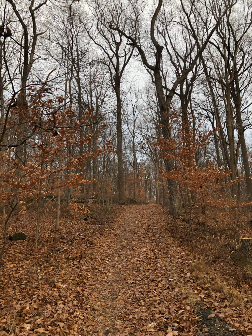
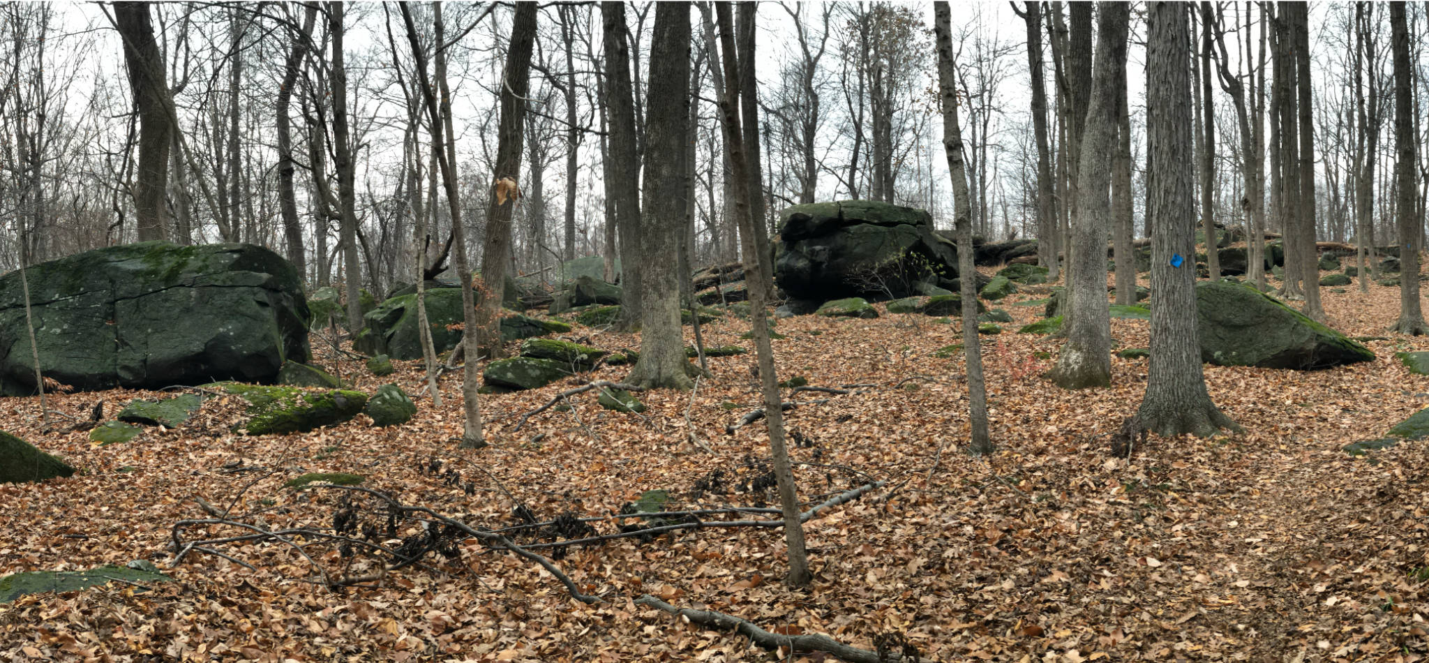
That said, you may find it worth visiting, especially if you’re in the neighborhood, or looking for a quiet walk. On a nice day several hundred people will use the Somerset park, where this one will likely see only several people. Here, the Yellow and White trails are charming, and the boulder field (just a short way up the blue trail) is pretty cool (and particularly attractive to climbing kids).
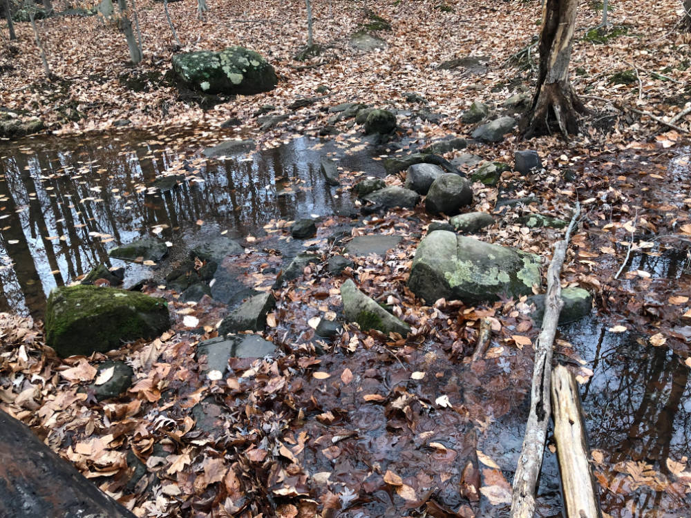
Be warned that the trails go through some wetlands and will get muddy in spots (particularly in the spring, or after heavy rains). The white trail also requires a stepping-stone crossing that may not be passable in high water.
Note that boulders are characteristic of Jurassic Diabase ridges. These were formed by magma flowing underground through fractures in softer, typically sedimentary rock about 200 million years ago. While these fractures were generally linear, there were pockets above the main fractures which also filled with magma. As the softer rock covering them eroded away, the main solidified flows ended up defining long ridges. The filled pockets survived as boulders, often small, but in other cases quite large.
Be warned, I found the backbone service road here pretty uninspiring. However, it is easy to walk on (and would make a really nice X-C ski trail). Assuming you’re using the Rileyville Rd trailhead, I suggest walking the trail system counter-clockwise, getting off the backbone as soon as you can. The nicest part of the backbone is the upper section between the northern end of the white trail and the southern end of the blue trail. By the time you’re walked all that, and explored the boulder field, you might be tired enough that the easy footing for the return stretch on the backbone trail will be welcome.