

Curlis Lake Woods
(609) 303-0700 Website Google Maps Trail Map GeoPDF
Gravitas: ![]() Challenge:
Challenge: ![]()
![]() Proximity:
Proximity: ![]()
Lovely, Lonely, Lake-shore
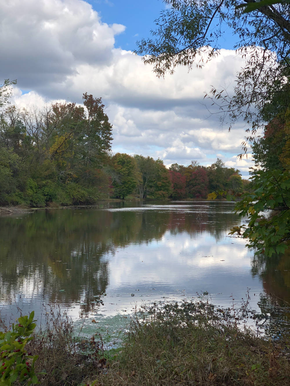
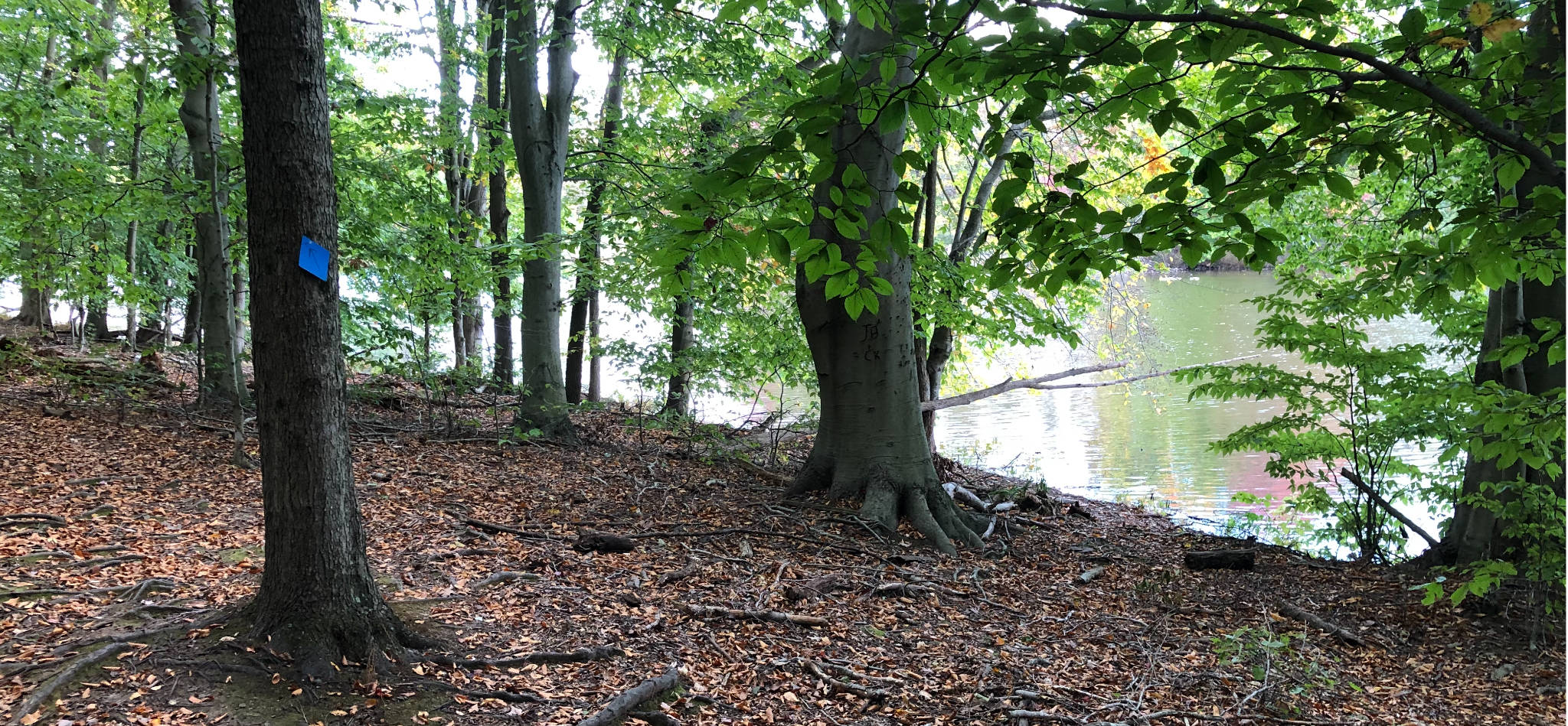
The Curlis Lake Woods Trails loop through mature beech, maple, and oak trees and traverse a half-mile of undeveloped lake-shore. The trail system consists of a backbone trail used by horseback riders, cyclists, and walkers that alternates between open fields and woodlands, but misses the lake. The side and connecting trails, some blazed blue, others un-blazed, route you to the lake-shore and seem to get relatively little traffic of any kind. On the day I visited, a gorgeous Friday afternoon in mid-October, I literally did not see another soul. Altogether, depending on the route you pick, you can construct a loop hike of 2-3 miles without any trouble.
Really, it’s astonishing that this trail doesn’t get more use than it does. Perhaps folks are put off by the idea that it’s listed as a “bridle” trail.
The going is pretty flat, though the woods are anything but boring. The backbone Curlis Woods Trail gets a bit more use than the others, but its sections through the woods, except for the signage, are little differentiated from the blue-blazed side trails and the un-blazed connecting trails. If you stick to the backbone and blazed trails, we rate this walk appropriate for beginners. The unblazed trails are rated Intermediate, simply because they’s bit harder to follow as they don’t get a lot of traffic to keep the correct path highly distinct. That said, it’s tough to get very lost, especially if you’re using our GeoPDF map installed in your smartphone.
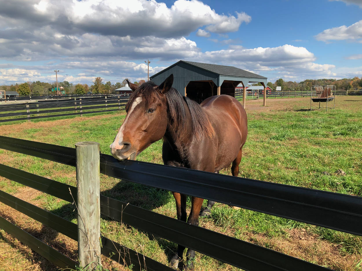
We suggest starting this hike from the Mercer County Equestrian Center. To reach the lake-shore trails, walk along a track that continues the long driveway by which you entered, walk in the pasture towards the tree-line until you see the trailhead entering the woods. Note, until you reach the trail proper, the woods are on private property.
Joyce Tatsch
Beautiful trail! Loss of beeches is going to be tragic.