St. Michaels Farm Preserve
Open Daily Dawn to Dusk. Open during hunting season. Please wear orange clothing
(609) 578-7470 Website Google Maps Trail Map GeoPDF
Gravitas: ![]() Challenge:
Challenge: ![]() Proximity:
Proximity: ![]()

Bucolic Splendor
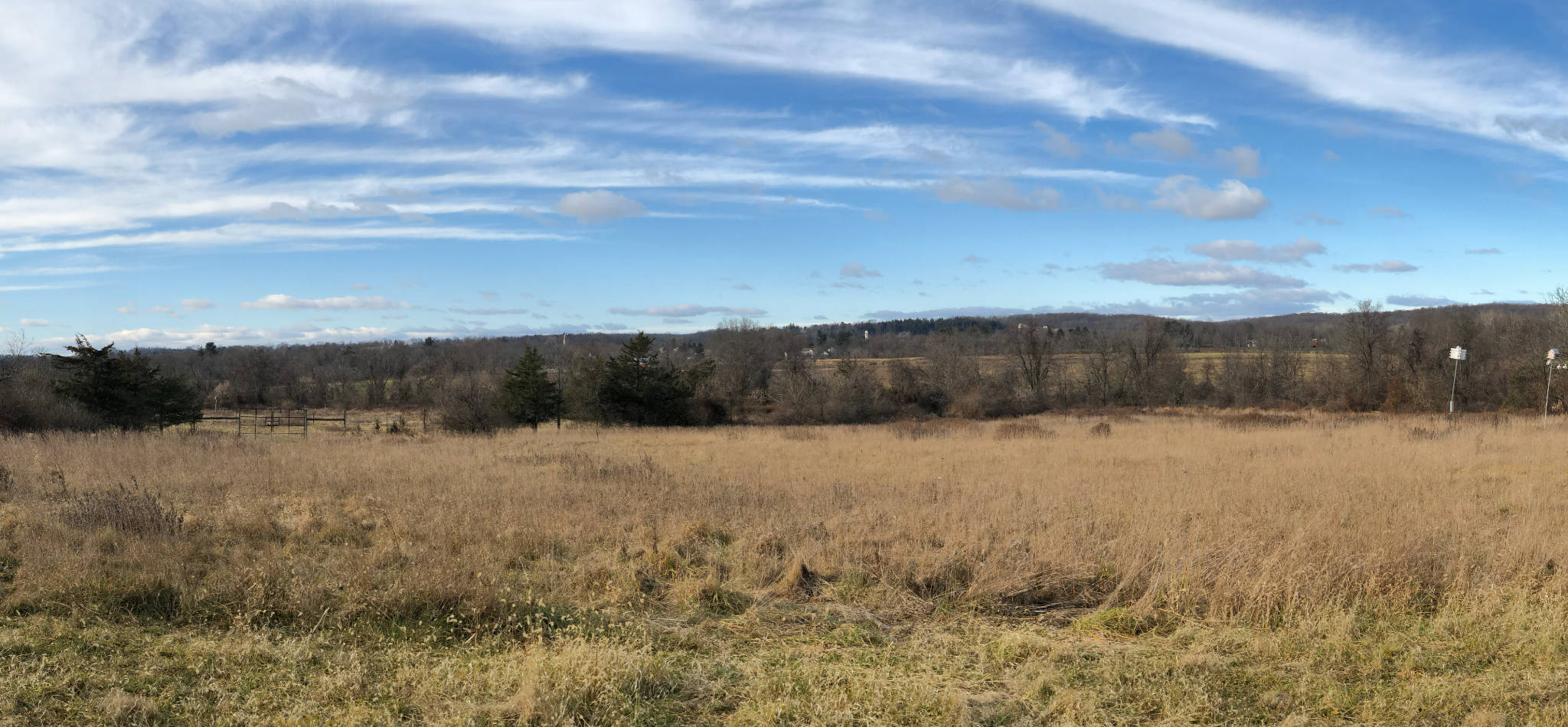
St. Michaels Farm Preserve was formerly the site of an orphanage. Set on the northern slope of the Rocky Hill Ridge (though not quite at the top), most of the fields overlook attractive views of the main Sourland ridge, a couple of miles further north.
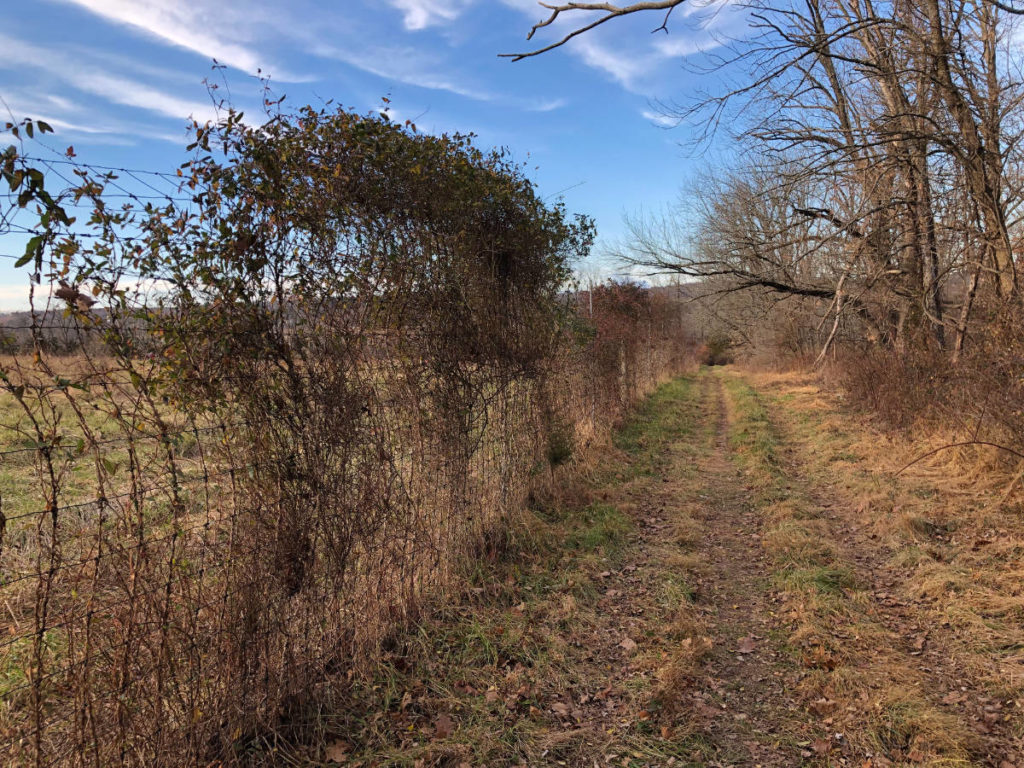
While principally conserving meadows, St. Michael’s is an unusual farm preserve in at least three respects. First, it’s anything but flat, gaining 160 vertical feet within the preserve from the low point at Beden’s Brook to the high point at the far southern boundary (just beyond the blue trail’s southern loop). Second, it provides a charming mix of woods trails and meadows. Third, many of the meadows are now leased out and still actively farmed. This does mean that some of the paths marked on older maps are now inaccessible behind locked gates. We’ve updated our trail map south of Beden Brook to remove closed trails; however, we’ve not fully explored the northern reaches, so some closed trails may still be indicated.
It’s really a lovely place to spend a couple of hours. Bird watchers will especially love the mix of habitat, with nearly 100 different species having been catalogued by the Land Preserve.

A few words of warning are in order. The woods trails are not heavily used and therefore indistinct, especially when leaves are newly fallen. During my most recent visit, a couple of the stream crossings were in poor repair, and the blazing on the blue trail (normally pretty clear) disappeared for several hundred yards close to the top of the loop. With fresh leaves on the ground, I had to guess the route. Because I’m used to bushwhacking, and am comfortable using our GeoPDF maps in my phone as a wilderness GPS, I kept going and eventually picked up the blazes again. If you’re uncomfortable “losing” the trail, you may want to stick to the meadows trails. Even experienced hikers will find our GeoPDF map, properly installed, particularly useful.
We’ve rated this an Intermediate hike due to these issues. If you stick to the meadows, it’s well suited to beginners.


Leave a Reply