Mount Rose Ridge
Open Daily, Dawn to Dusk Mid-February through November
(Open Sundays only during deer hunting season using firearms, early Dec to Mid Feb)
(609) 737-3735 Website Google Maps Trail Map GeoPDF
Gravitas: ![]() Challenge:
Challenge: ![]() Proximity:
Proximity: ![]()
Ridge of Solitude
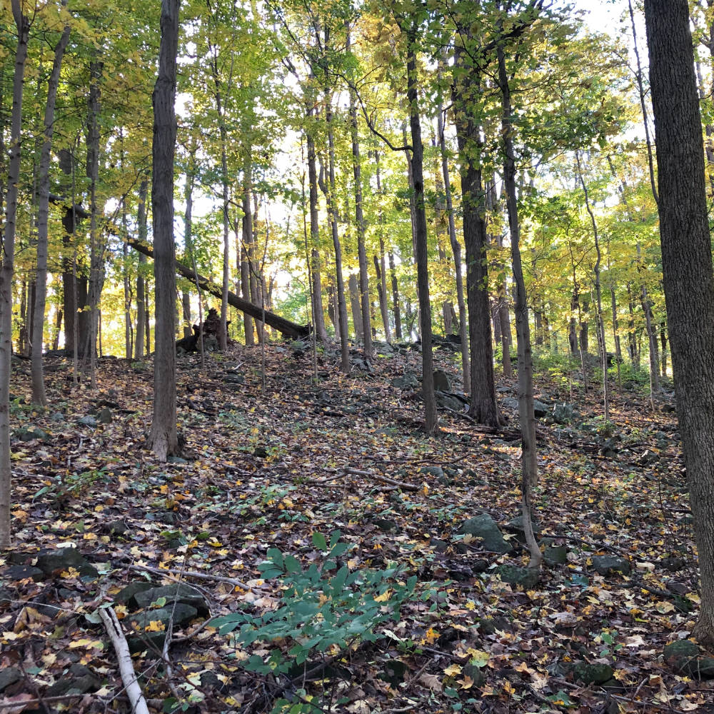
On its own, this is a charming, fairly steep little climb of about 120′ vertical elevation up and over the southernmost ridge in the Sourlands. It is the northernmost section of the Watershed Preserve’s main trail, but except for the clear blazing and signage, bears almost no resemblance to the rest of it.
Where the southern 4 miles of the Watershed trail are virtually flat, and often soggy, this trail is steep and rocky. The trees are mostly magnificent Tulip Poplars and Black Birch. And where the Watershed trails near the Institute (more than 2 miles south) get a lot of use from family and education groups, this section of the trail is normally deserted. It’s almost like a private section of the Sourlands Mountain Preserve, which deservedly gets a lot of use.
Most people will want to start this trail from the Elks Preserve parking lot, a FoHVOS preserve which is immediately adjacent and connects to the Watershed trail system just south of Crusher Rd. If you take the most direct route through Elks Preserve, complete the ridge loop (including unblazed section), and return the same way, this hike is about 2.25 miles. You can extend it by continuing down towards Hopewell (which will add 4/10 mile round trip). It gives slightly better partial views, but frustratingly the view never really opens up (brush and a fence keep you from breaking out to a full view) . Other extension options are to take a more circuitous return loop in the Elks Preserve, or to explore more of the Watershed trail system. Personally, I think this Mt. Rose trail is just a lovely, short, intense little hike that doesn’t need extending, but that’s up to you.
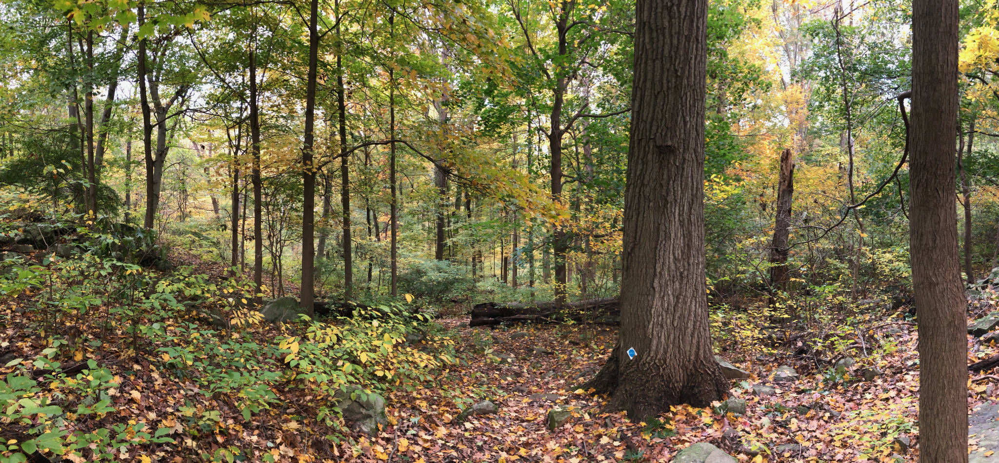
We rate this trail Intermediate for two reasons: 1) the descent down the far side of the ridge is fairly steep, with tricky footing at times, and 2) because the unblazed loop trail is difficult to follow in places. For sure, download the GeoPDF hiking map for the Watershed Preserve, and install it with Avenza Maps if you intend to walk the unblazed section. You’ll find it very helpful.