Bowmans Hill Tower Hike
Open every day, 10AM-4PM
(215) 862-3166 Website Google Maps Trail Map GeoPDF
Gravitas: ![]() Challenge:
Challenge: ![]() Proximity:
Proximity: ![]()

Tower Tantrum
NOTE: This review was written in 2015 and we haven’t been back since to assess conditions. It’s an unmaintained trail. Please use good judgement about the condition of the trail and your ability to handle it.
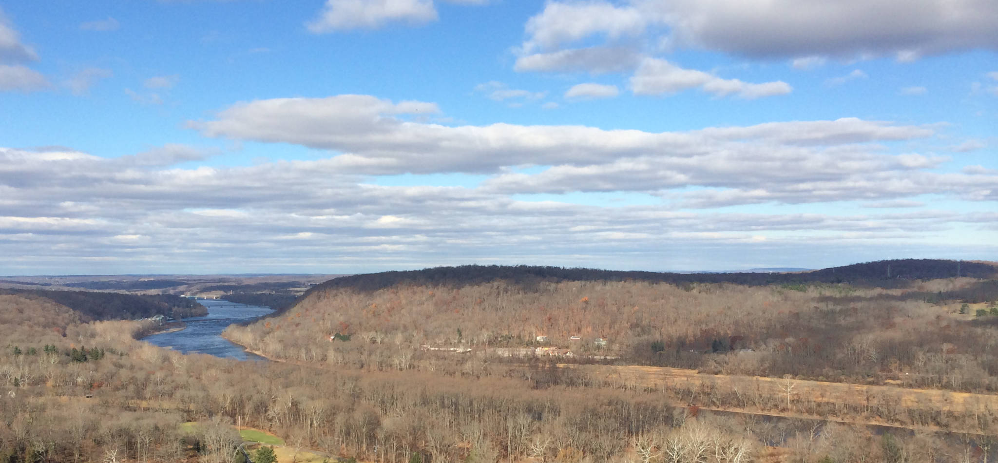
Bowman’s Hill climbs a bit over 300 vertical feet from River Road, with an average gradient of over 25%. That’s pretty darn steep, and it’s one of only a handful of spots within half an hour of downtown Trenton where you can gain so much elevation. There’s a 115 foot tower at the top where, if you plunk down a $7 admission fee, you can take an elevator and climb some steps to gain one of the most spectacular views anywhere in the region.
That’s the good news. The bad news is that the current managers of the site, the Pennsylvania Historical and Museum Commission, seem to be clueless when it comes to managing the site for hikers. Here is potentially one of the nicest hiking preserves in the region, and they do nothing to maintain a trail system or to encourage hiking. Apparently, at one time the Boy Scouts had laid out an extensive hiking trail network here. Now, about all that remains is the trail up the hill (though you can walk along paved paths on the summit ridge). The trail itself is unmarked and difficult to find (See: Finding the Trail, below). Given its steepness, we would recommend walking UP this trail and then down the other routes, which are paved or gravel roads, and much less steep.
Despite the issues, this trail is short, sharp, and fun! Given its proximity, it’s well worth exploring by experienced hikers. We would recommend hiking when the leaves are down, so you get views through the trees (unless you go up the tower, there really aren’t any unobstructed views). Because the trail is so steep, you’ll want to be careful if you go during the winter when ice would make the route impassable without crampons. Probably the best times to go are November, after the leaves are down, but before ice becomes an issue, or especially March, before the trees are in leaf, but when the early-season wildflowers are in bloom. The nicest return walk takes you through the Wildflower Preserve (the gate at the top is passable to pedestrians), and if you go in spring you can add-on a tour there and learn about native wildflowers. Note, there’s an admission fee to the Wildflower Preserve if you’re not a member. Admission is on an honor system: stop at the visitor center on your way out.
Finding the Trail: Download the trailmap from this link. The trail up Bowman’s Hill is marked in red dashed lines. To start the hike, park in the lot just south of the bridge over Pidcock Creek on Rt. 32/River Rd. You’ll see a wooded slope on the opposite side of the road. Note, it’s posted, but if you read the fine print on the signs, it simply prohibits hunting and trapping. This is state-owned land, and walkers are certainly NOT trespassing.
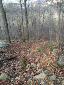
There’s a slightly worn (but unmarked) trail opening directly opposite the parking lot, which cuts up to a service-road that parallels an ugly, 10′ tall chain-link fence (that keeps deer out of the Wildflower Preserve). If you don’t see it, just scramble up the road berm, just to the left of the fence. Follow the fence-line about 250 yards. The gradient will be fairly steep at first, then ease somewhat as the fence-line contours along the side of the hill. When you’re still about 25 yards short of the fence-line leveling off, you’ll see on your left what looks like a gully eroded straight down the fall line. If the leaves are down, you’ll see that the bearing for the stone tower is nearly perpendicular to the fence-line. This is the trail (believe it or not). I saw no evidence of any signage or trail blazes, but as you climb, the trail becomes increasingly easy to follow (though seriously steep with an average gradient approaching 30%).
Note that dogs (on leash) are permitted on Bowman’s Hill, but are prohibited in the Wildflower Preserve. If you bring a dog, you can stay out of the Preserve, and walk back along the fenceline. If you do enter the preserve, there is an admission charge which you can pay at the Visitor’s Center on your way out.


Mary Rowlands
I climbed the paved path, then all those turret stairs w/ my son when he was 2yo.And their was no hand rail. I will always be grateful I missed these less litigious when he was young. Got to experience a whole lot of things not available now
Barbara Flanigan
Love going there… such a great view.